– Case Study –
Satellite Image Annotation for Oil & Gas Discovery
Global analytics provider required pristine datasets to help energy companies identify potential mining sites
Challenge
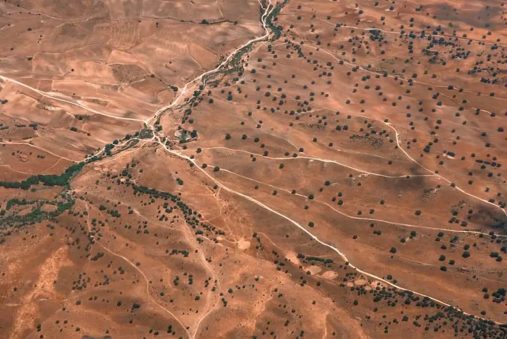
A global provider of information and analytics focused on the energy sector required satellite images to be annotated with geographical locations of oil deposits to automate detection of the oil deposits. The key challenge of this project was that annotators needed a highly specialized cartography background to carry out this work.
Geological Annotatation

Results
SOLUTION
Innodata recruited a team of highly skilled cartographers who had expert understanding of annotating geological maps. Our proprietary ML-enabled platform was leveraged to load, manage, and annotate the data as well as organize collaboration across SMEs to ensure pristine datasets were created.
IMPACT
These pristine datasets are used to predict the probability of oil presence, while the basin geo-coordinates indicate size of the reserves and exact geo-location. This has allowed the client to disseminate the geological composition data to oil and gas companies to identify potential mining sites for exploration.
Meet an Expert

Our Team of Data Experts
A team comprised of data experts with extensive experience in developing AI-based data solutions for clients. Book a time that works for you and let us help develop a custom solution for your unique needs.
